


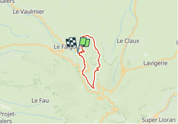

18,8 km | 28 km-effort


Usuario


Aplicación GPS de excursión GRATIS
 SityTrail
IGN / Institutos geográficos
SityTrail World
El mundo es suyo
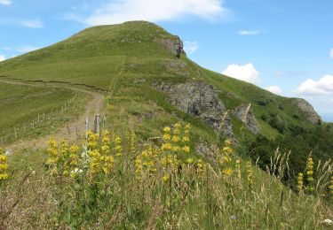
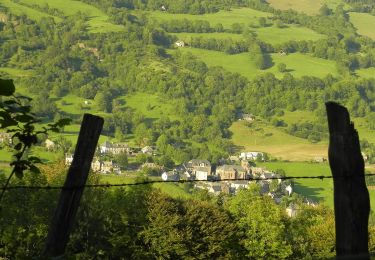
Ruta Senderismo de 17,5 km a descubrir en Auvergne-Rhône-Alpes, Cantal, Le Falgoux. Esta ruta ha sido propuesta por Jean Yves Erard.
départ à la Franconèche- montée au Luchard ( 600m de dénivelé) - Gr400- retour à la Fraconèche par le chemin des Italiens

Senderismo
Otra actividad
A pie

A pie

A pie
A pie
A pie
A pie

Senderismo